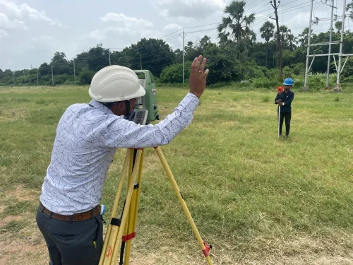
Land Surveyor
Learn modern surveying tools and GPS-based measurement techniques. Focuses on map reading, plotting, and construction site coordination.
Course Details
Overview
The Land Surveyor course is crafted for individuals aspiring to enter the civil and infrastructure industries as skilled surveying professionals. It provides comprehensive training in measuring and mapping land surfaces using both traditional tools and modern technologies like Total Station, GPS, theodolites, and laser levels. Students learn to take precise measurements, interpret site layouts, prepare topographical maps, and work with civil engineering drawings. The curriculum also covers boundary analysis, leveling, and contouring, as well as the legal aspects of land demarcation and property documentation. In addition, trainees are introduced to CAD-based survey mapping and GIS fundamentals to align with industry standards. Practical field exercises and site simulations are integral to the program, ensuring students become confident in data collection, error analysis, and field reporting. Emphasis is also placed on safety protocols and communication skills required when working alongside engineers, architects, and contractors in large-scale infrastructure or real estate projects. The course combines theory and fieldwork to ensure graduates are job-ready for professional environments.
Career Prospects
Graduates of the Land Surveyor program at Urban Industrial Technical Institute can work as Survey Assistants, Site Surveyors, or CAD Mapping Technicians. They are in demand across construction companies, civil consultancies, infrastructure projects, and government departments. Opportunities are available both in India and abroad, especially in Gulf countries where land development and surveying are critical sectors. Placement assistance is provided.
Program Structure
Curriculum
Certification
Survey Technician certification and preparation for professional licensing.
Enquire About This Course
Frequently Asked Questions
What are the eligibility requirements for this course?
Generally, candidates should have completed 10th standard (Class X) or equivalent. Specific requirements may vary by course. Age requirements typically range from 16-40 years. Medical fitness may be required for certain technical trades.
What certification will I receive?
Survey Technician certification and preparation for professional licensing. This certification is recognized by industry standards and helps in job placement both in India and abroad.
Do you provide placement assistance?
Yes, Urban ITI provides comprehensive placement assistance including resume preparation, interview training, and direct connections with employers in India and Gulf countries. Our placement team works closely with leading companies in the industry.
What is the course fee structure?
Course fees vary by program duration and specialization. We offer flexible payment options including installment plans. Contact our admissions team at +91-8235585588 for detailed fee information and available scholarships.
Are there any additional costs?
Additional charges may apply for materials, equipment usage, and certification fees. International certification fees are separate where applicable. All costs are transparently communicated during the admission process.
Recommended Courses
 Welding Quality Control
Welding Quality Control
Train in inspecting, testing, and certifying welds as per international standards. Perfect for those aiming for QA/QC roles in welding projects.
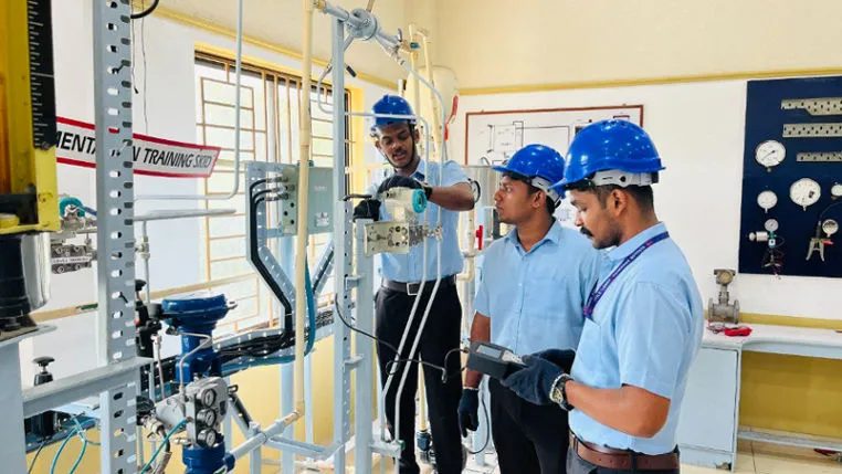 Instrument Technician
Instrument Technician
Acquire skills to install, maintain, and calibrate industrial instruments used in automation and process industries. Includes practical sessions and diagnostics.
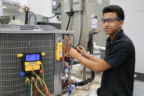 Plant A/C Technician & Refrigeration + HVAC
Plant A/C Technician & Refrigeration + HVAC
Understand HVAC systems and industrial air conditioning units. Learn maintenance, fault diagnosis, and energy-efficient servicing techniques.